

 Page 1
---------------------------------------- Page 2 ----------------------------------------
Page 3
Page 1
---------------------------------------- Page 2 ----------------------------------------
Page 3 
|
|
|
|
| View at the Sabai Tsho Lake and Sabai Glacier. Water level has dropped 50 meters. Size of lake 1.2 by 0.4 km. | Detailed view of the Sabai Tsho Glacier. Note the fresh (unweathered) rocks some 400 meters above the lake in the middle of the photograph. |
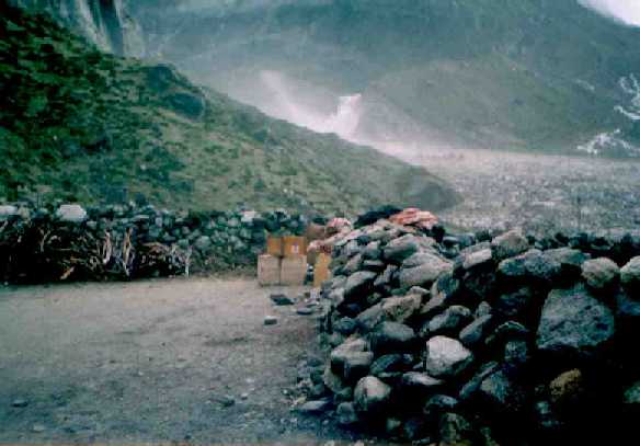
2. What caused the disaster?Three earth quakes hit this region on September 2nd and 3rd and the one that took place at 5.50 h on September 3rd had a magnitude of 3.77 on the Richter Scale. This caused a large piece of the glacier hanging steeply above the Sabai Tsho Lake to fall in the lake some 400 m below, see detailed photograph. From the barren rocks, it is estimated that the size of the broken slab of glacier was around 300 meters high, 100 meters wide and 10 meters thick. This caused a waterfall across the natural glacial lake dam (moraine) |
which is 100 m high and 300 m across (thick). After a few hours the dam burst
forming a hole of 2000 square m.
For the next 5 to 10 minutes, a flood of rocks, water
and glacial ice burst through the moraine dam hole,
and along the river valley to the South passing the village of Tangnag, a kilometre down-stream.
The wall of water measured around 2000 square meters, on average 200 m wide and 10 meters high, and rushed down the Hinku valley for five to ten minutes, in total 25 million cubic meters of water. The water level of the 1.2 by 0.4 km lake dropped 50 m. The very wet and warm monsoon of 1998 could be responsible for the instability of the glacier. |

|
 |
|
| View at the Sabai Tsho Lake before the glacial dam burst. | View at the Sabai Tsho Lake after the glacial dam burst. |